The highest-grade uranium district on Earth.1
Nothing else comes close.
Athabasca deposits run at grades 10 to 100 times greater than the world average for uranium ore.1
Grade is the whole argument. A deposit ten times richer needs a tenth of the rock moved, milled and processed for the same pound of uranium, which is why a basin covering a small fraction of the world’s prospective ground produces a fifth of its uranium. It is also why exploration here is worth doing at all: a small, high-grade body can matter more than a large, poor one.
across three properties
Hurricane deposit2
1 Athabasca Basin share of world uranium supply and grade comparison per Natural Resources Canada, Uranium in Canada. 2 Hurricane deposit indicated resource of 48.61 million pounds at 34.5% U3O8 per IsoEnergy Ltd. initial mineral resource estimate, July 18, 2022. Mineralization on adjacent properties is not indicative of mineralization on UraniumX’s properties. UraniumX has not defined any current mineral resources or mineral reserves on any of its properties.
Everything happens at the unconformity.
The Athabasca Basin is a bowl of sandstone laid down on much older basement rock. The surface where the two meet is called the unconformity, and it is where the basin’s uranium collects: uranium-bearing fluids moving through the sandstone meet reducing conditions in the basement, and the uranium drops out of solution.
That is why exploration here is a search for structure rather than a search for rock. Faults and conductive graphitic units in the basement channel those fluids, so the work is finding where the plumbing runs, with electromagnetic and gravity surveys, and then drilling the intersections.
Depth to the unconformity drives cost. It sits 400 to 800 metres down across much of the basin, but only 0 to 200 metres at the basin margin, where our Zoo Bay property lies. At C$250–400 per metre, the difference between a 200-metre hole and a 600-metre hole is the difference between testing many targets and testing a few.
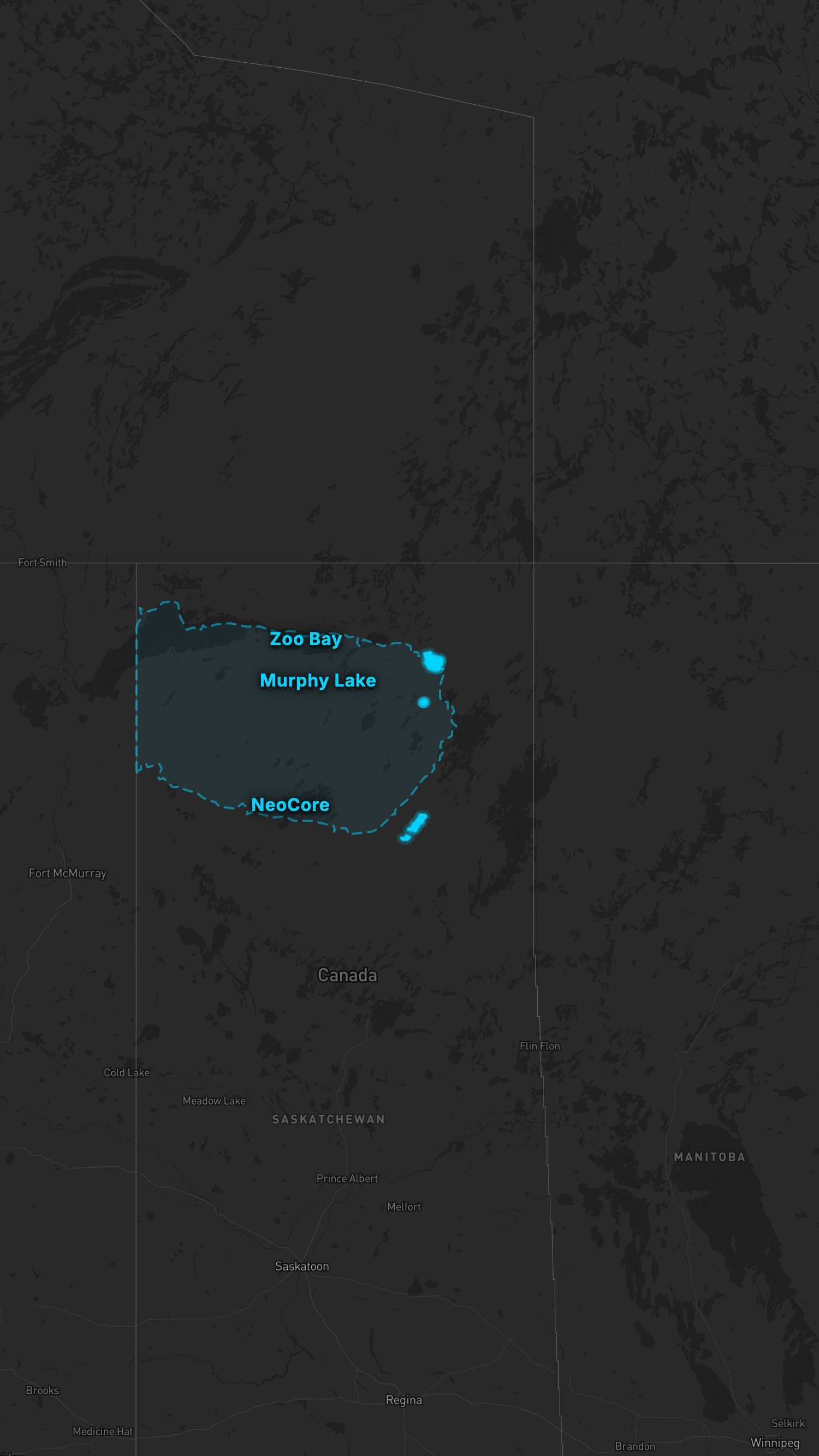
Three properties, 33,471 hectares.
Explore the basin and our claim blocks below, or go straight to a property.
Claim boundaries are indicative and drawn from public tenure data. Open the full-screen map →
UraniumX has not defined any current mineral resources or mineral reserves on any of its properties. Early-stage exploration; there is no guarantee that exploration will result in the discovery of an economic mineral deposit. References to adjacent and nearby properties are for geological context only and are not indicative of mineralization on UraniumX’s properties. Technical content reviewed by Ken Wheatley, P.Geo., Chief Geologist, a qualified person under National Instrument 43-101.
Dieter Lake covers 8,106 hectares in North-Central Quebec and is 100% owned, acquired from IsoEnergy’s Consolidated Uranium in August 2026.